forums
new posts
donate
UER Store
events
location db
db map
search
members
faq
terms of service
privacy policy
register
login


Location DB > United States > Wisconsin > Sherwood > Lime Kilns at High Cliff > Aerial Images > Aerial #2

2 / 2   Aerial #2

Description
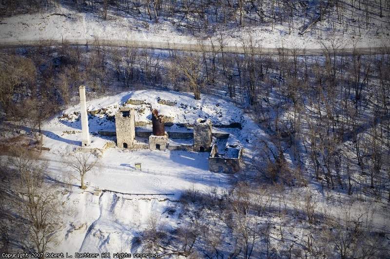
Here you can see the park road above the ruins. The stonework behind the kilns the part of the system they used to load the limestone into the kilns. You can see a road/trail beneath the kilns. Below that is where the poor quality quick lime was dumped over the edge and formed this very steep slope.
Controls

Return to Main Location Page

Return to Gallery Overview

Edit this Gallery

Edit this Picture

Subscribe this Picture
Comments
If you'd like to add a comment, please login or register.


All content and images copyright © 2002-2024 UER.CA and respective creators. Graphical Design by Crossfire.
To contact webmaster, or click to email with problems or other questions about this site: UER CONTACT
View Terms of Service | View Privacy Policy | Server colocation provided by Beanfield
This page was generated for you in 250 milliseconds. Since June 23, 2002, a total of 739854439 pages have been generated.