|
|
|
UER Store
|
|
 order your copy of Access All Areas today!
|
|
|
 |
|
|
|
|
Location DB >
Canada >
Nova Scotia >
Moose River >
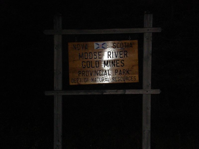
Moose River Gold Mines
|
|
Log in to activate viewing options
|
|
|
created by nootz
on 6/8/2008 7:17 PM
last modified by nootz
on 3/18/2021 12:33 AM
|
|
 |
Publically Viewable |
|
This location has been labeled by its creator as Public, and therefore can be viewed by anyone.
|
|
|
|
|
|
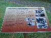
Different plaques and descriptions of how some of the equipment worked. Mostly described what happened in the 1936 mining accident.
Update: The park and community has been converted into an open pit mine
|
|
|
Type: Outdoors
Status: Repurposed
Accessibility: Easy
Recommendation: check it out if you're nearby
|
|
|
|
|
|
Random mine shafts in the woods and in peoples' front yards.
|
|
|
|
|
|
|
|
|
Moose River is in Halifax County and the area was mined in the 1800s. Abandoned for the next fifty years, in 1934 renewed interest in gold mining caused the Moose River mine to be taken over by a new group. This new company of owners, managers, and miners included Herman Magill and Toronto Doctor David E. Robertson, large shareholders, and Alfred Scadding, hired previously in January of 1934.
During the half-century of idleness, the mine filled with water, the support structures rotted and, due to inactivity, the underground operation had not been inspected for safety. Previous mining at Moose River was done by robbing the natural pillars; however years of abandonment meant timbering was neglected; thereby putting heavy pressure on remaining old timber.
Magill, Dr. Robertson, and Scadding decided to examine the mine in April 1936. When the three men were busy exploring the mine, Scadding mentioned there was more noise than usual. The others, however, didn’t think it was out of the ordinary. Scadding was insistent and Robertson finally agreed they should get back to the surface. They went to the “skip”, which would carry them to surface, but didn’t get far as they saw timber splitting in the shaft. They heard rock falling and realized they were in deep trouble. They were trapped. It took ten days to get the men out.
|
|
|
|
|
Being turned into an open pit gold mine.
|
|
|
|
|
|
|
|
|
|
The moderator rating is a neutral rating of the content quality, photography, and coolness of this location.
This location has not yet been rated by a moderator.
|
|
 This location's validation is current. It was last validated by
Emperor Wang on 3/18/2021 1:57 PM.
This location's validation is current. It was last validated by
Emperor Wang on 3/18/2021 1:57 PM.
|
|
|
on Mar 18 21 at 13:57, Emperor Wang validated this location
on Mar 18 21 at 0:33, nootz changed the following: Type, Status, Description
on May 29 10 at 21:47, tribeachpunk validated this location
on May 29 10 at 21:47, tribeachpunk changed the following: Display Name, Real Name, City
on Jun 11 08 at 5:44, TurboZutek validated this location
on Jun 10 08 at 21:28, nootz made this location available
on Jun 10 08 at 21:28, nootz updated gallery picture Moose River - No Trespassing & Keep Away
on Jun 10 08 at 21:27, nootz updated gallery picture Moose River - Gate at Main Road
on Jun 10 08 at 21:27, nootz updated gallery picture Moose River - Quartz on Path
on Jun 10 08 at 21:26, nootz updated gallery picture Moose River - Path Back to Main Road
|
|
|
|
|
|
|
Is this location inappropriate / broken / missing key info?
If it's something you can fix, please scroll up and click the EDIT button.
If this location was only posted a few days ago, give the creator time to work on it.
Please try sending a message directly to the creator of the location. You'll find that info at the top of this page.
Otherwise, ONLY if you've already tried to contact the original creator,: Click here to notify an administrator.
|
|
|
|
All content and images copyright © 2002-2024 UER.CA and respective creators. Graphical Design by Crossfire.
To contact webmaster, or click to email with problems or other questions about this site:
UER CONTACT
View Terms of Service |
View Privacy Policy |
Server colocation provided by Beanfield
This page was generated for you in 108 milliseconds. Since June 23, 2002, a total of 739325346 pages have been generated.
|
|