 |
|
|
UER Store
|
|
sweet UER decals:

|
|
|
 dwtaylor999
  
Location: Unassigned Lands, Oklahoma
Gender: Male
 | |  | The road to Strohm
< on 2/11/2013 4:22 AM >
|  | | | It was a rainy weekend in Oklahoma, though I wasn't complaining (much), the rain was much needed. Hovering in the low 40s, the temperature was a bit cool, with a brisk wind, not exactly a day to be out on the prairie, but hey, I was bored. Looking through some old maps, and I decided to follow one of the old Atchison, Topeka & Santa Fe Railway lines that's been on my "list" to investigate.
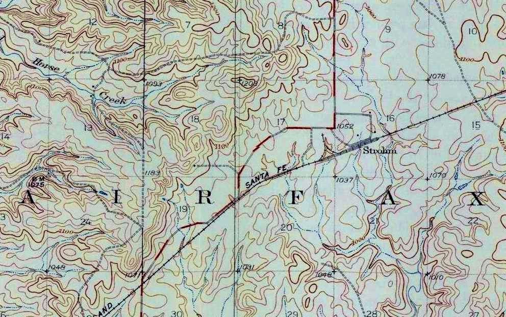
While no Indiana Jones adventure, it was something to do. From what information I could find, the AT&SF originally built the line from Owen, near what would become the boom town of Hulah, in Washington county, to Pawhuska in 1923, when the oil boom was in full swing in the area. The section I planned to follow was added in 1927, extending from the existing AT&SF line in Ralston, joining the original line in Pawhuska. The new route branched just north of Ralston at a point with the official distinction of O.S. Junction, having an overall length of 62.5 miles. It was built primarily to support oil shipment from the Osage oil fields, though it also became one of the major lines for transporting cattle..
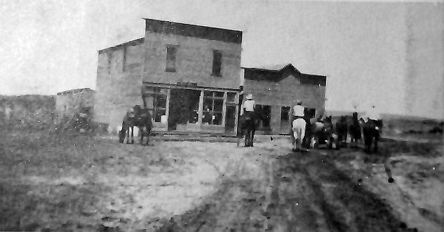
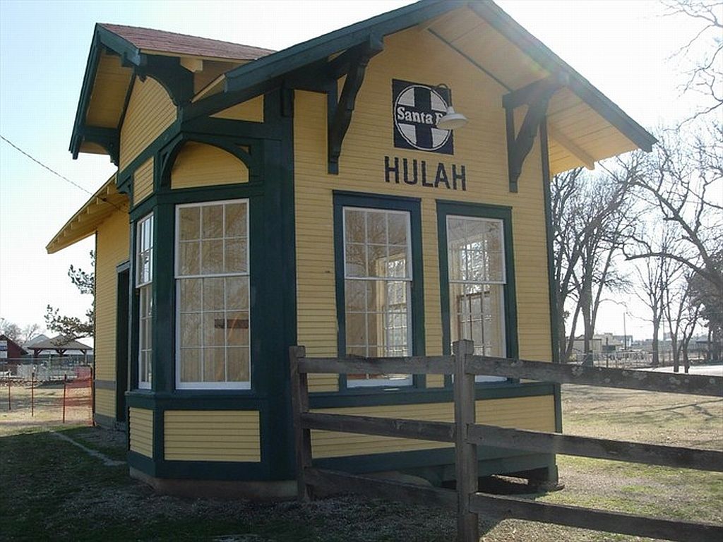
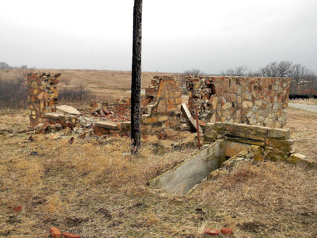
I had travelled to Hulah in the spring of last year. A short lived town, little remains of Hulah today. It was interesting in that is had a "pocket" depot, basically a shrunken version of a standard depot. I've included some photos of the remains of Hulah,, including a photo of the Sante Fe depot taken in 1923.
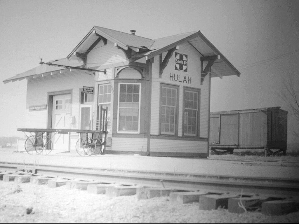
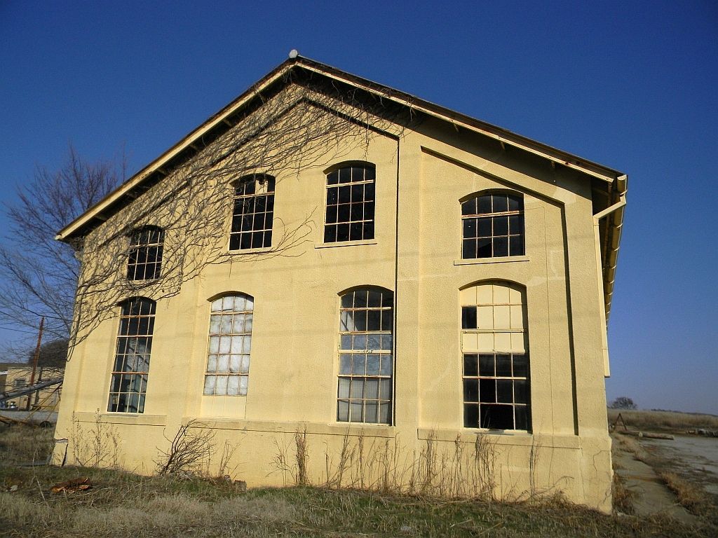
The Hulah post office and general store.
The depot stood abandoned for years, but a group saved and restored the old depot. If you're ever in Bartlesville, you can see the restored Hulah station in the city park.
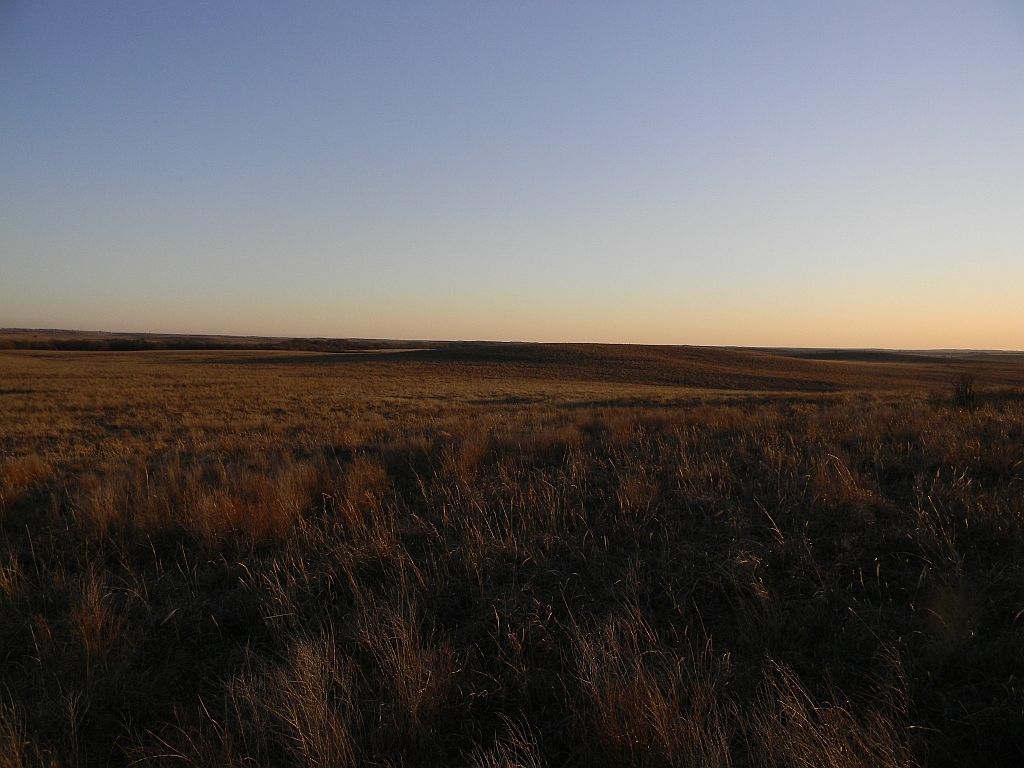
Back to the story. The primary loading point along the Ralston - Pawhuska portion of the line, was a siding location known as Strohm, several miles northeast of Fairfax, smack in the middle of the Tall Grass prairie. It was named for Charles B. Strohm, a Santa Fe Railway official, and while not a town, i.e. no post office or school, a small community did exist there, primarily in support of the shipping. Before the current highways, the "main" road from Fairfax to Foraker and Pawhuska followed a hodge podge route through the area. This road had been paved, but has long since reverted to the dirt and gravel it came from. Conveniently though, the old rail line somewhat followed it, making my task easier.
Construction would have been interesting, blazing hot in the summer, freezing cold in the winter, with practically no protection from the prairie winds. The terrain consists of rocky rolling hills with few trees and many creeks that would have to be traversed. Throw in some thunderstorms, lightning, tornadoes, and an occasional prairie fire for additional fun.
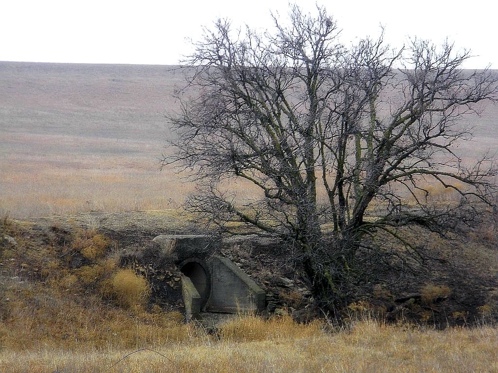
Unlike some of the Midland Valley rail routes built further north in the early 1900s which utilized native stone for many of the culverts, and crossings, this route used concrete, which was readily available in the 1920s. I can almost hear some of the old timers working the line telling the younger ones how in their day, they didn't have this easy concrete to work with. They had to haul rock for miles, up hill, both ways.
Firing up the trusty Ford, I made a quick stop in Fairfax for sustenance (jerky and Nehi), gassed up and headed out. I crossed the old bridge at the edge for Fairfax and headed down the old ways.
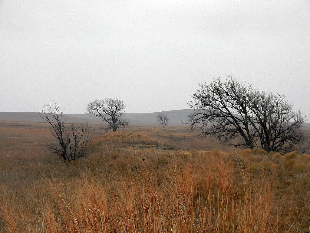
Knowing this wouldn't be a photo extravaganza, I decided to shoot anything interesting along the way. There were a few interesting items, which I blatantly post as filler.
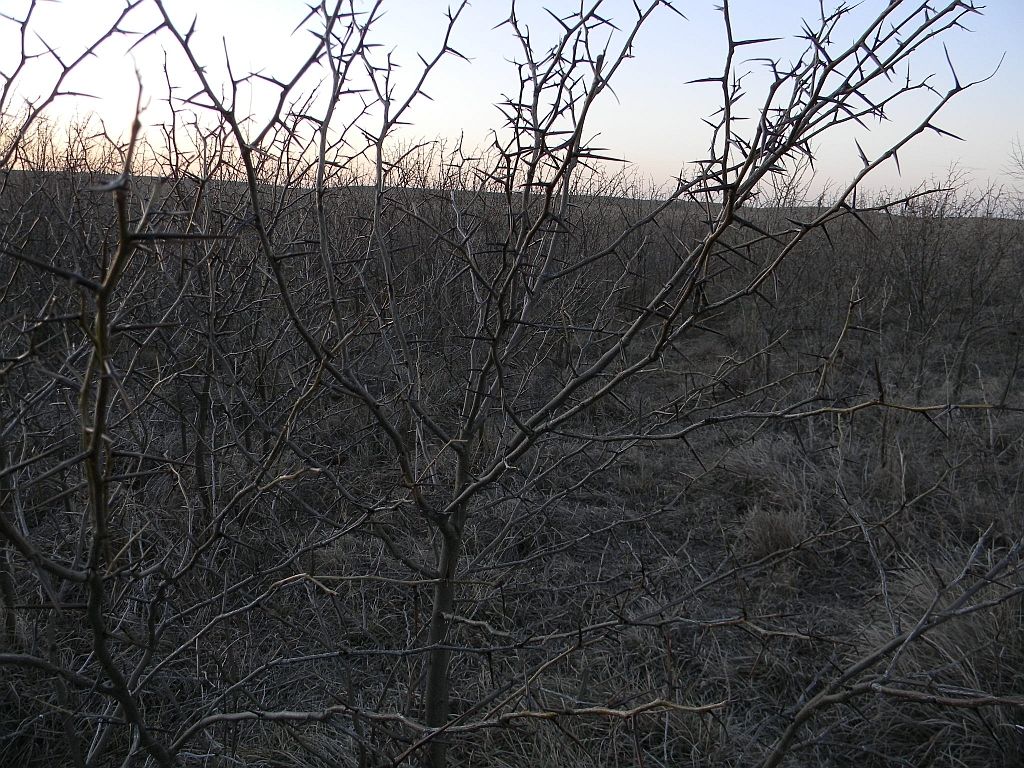
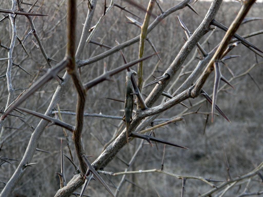
Some of the obstacles the builders would have to endured. Looking more closely, I noticed a mummified lizard impaled on one of the thorns. There's a local bird that stores its food for future use this way, some type of shrike I think. Looks like it never made it back for dinner.
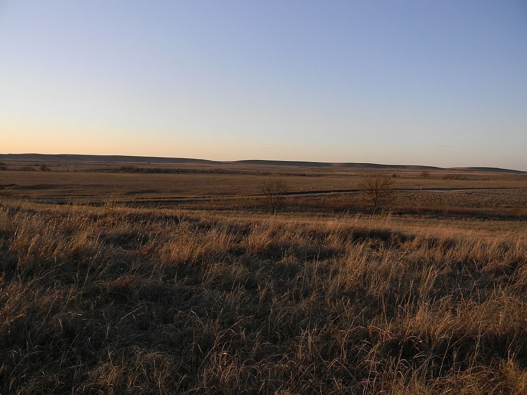
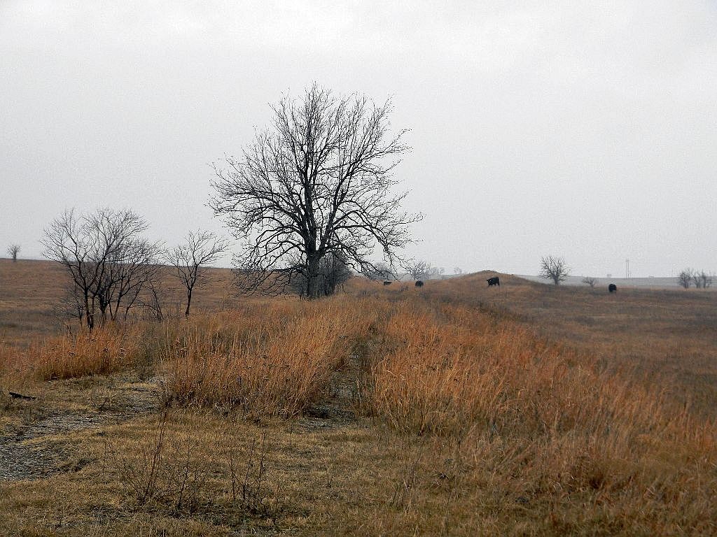
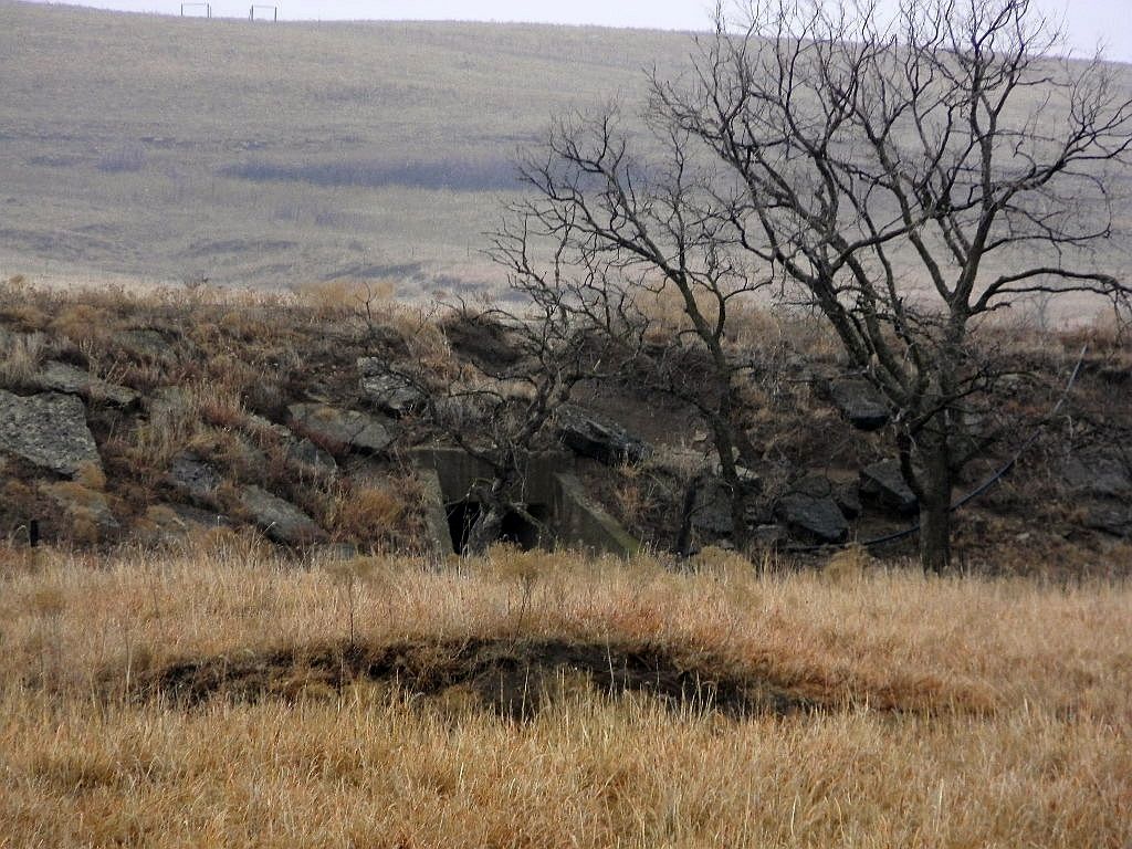
First signs of the old railroad bed. Initially it was north of the road, cutting diagonally across the prairie.
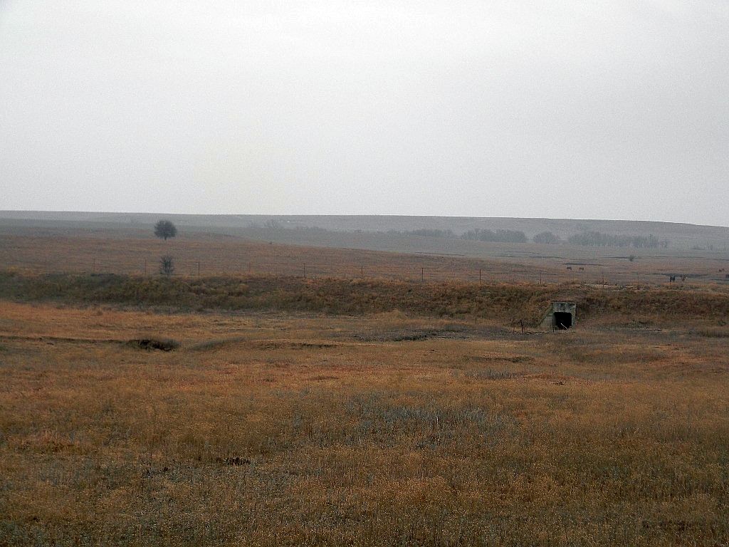
First crossing point. Something was here at one time. Posts and old rail ties were in the grass. The line was to the left of the dead tree in the second photo.
The road made a 90 degree right and crossed the line again a short while later.
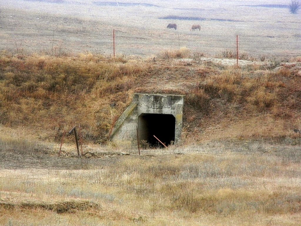
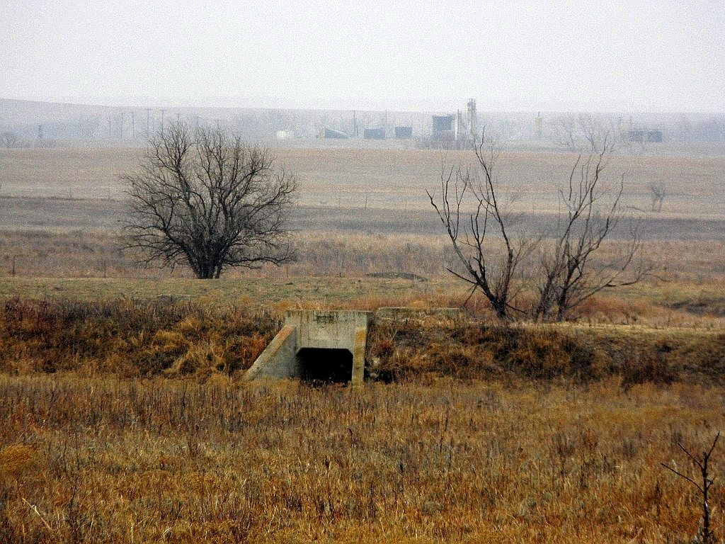
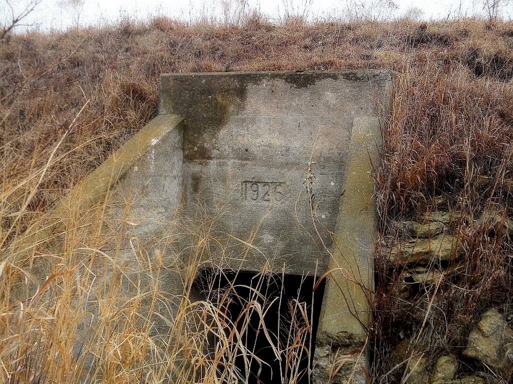
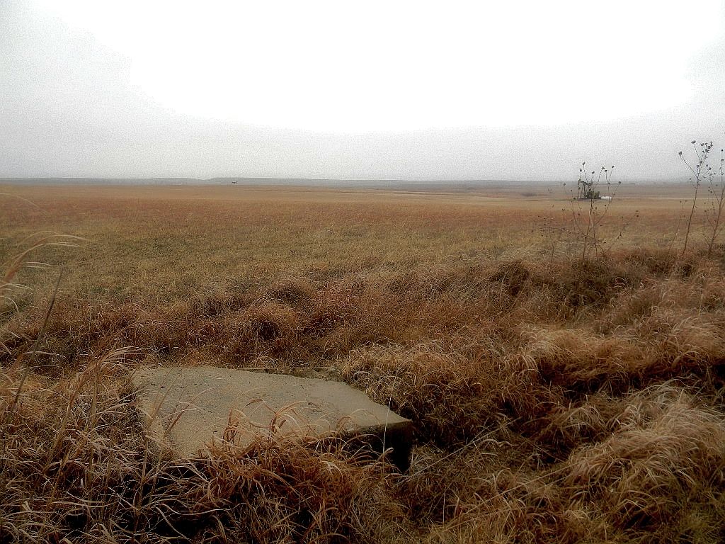
These are just some of various creek crossing I encountered. Some were stamped with dates. Looks like this section of the line was constructed in 1926. So much for the documentation saying they started construction in early 1927.
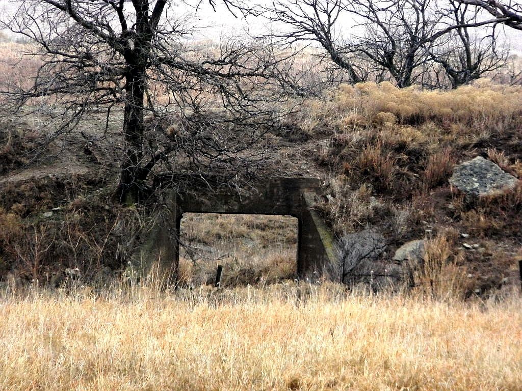
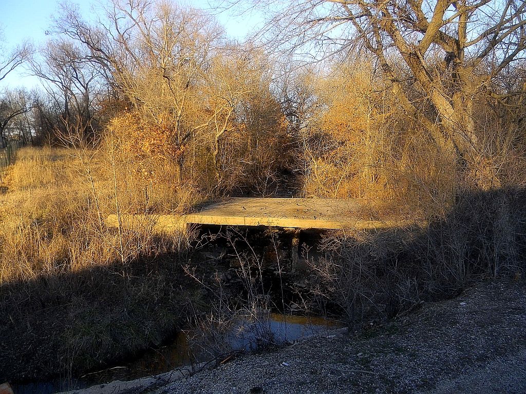
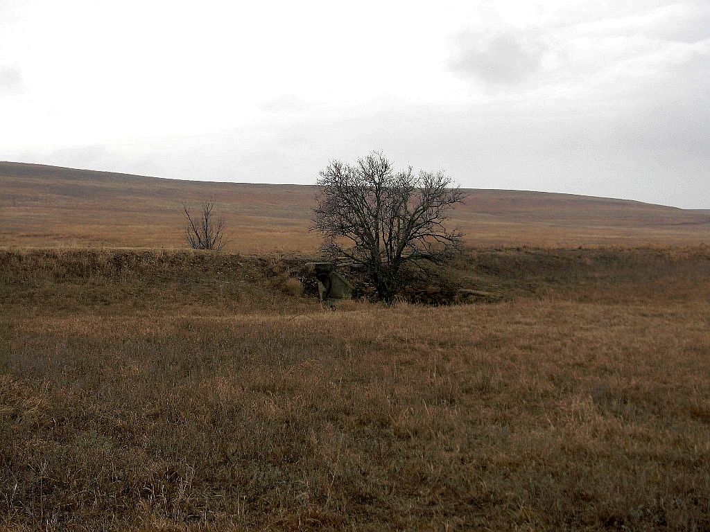
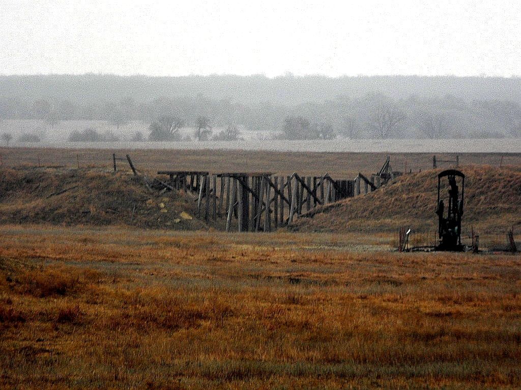
The first of the larger trestles I encountered. It appears to have been traditional wooden construction, but strangely, less than a mile away, the second appeared to have used concrete piers. I suspect the concrete was added later after a washout, perhaps, vice versa.
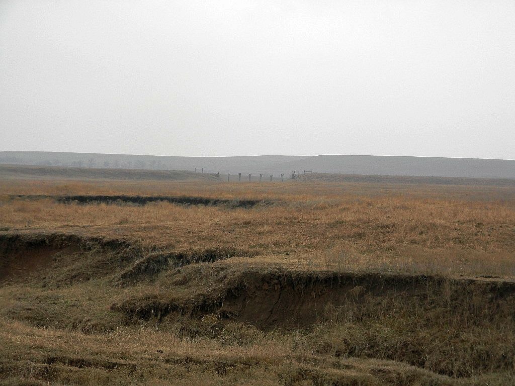
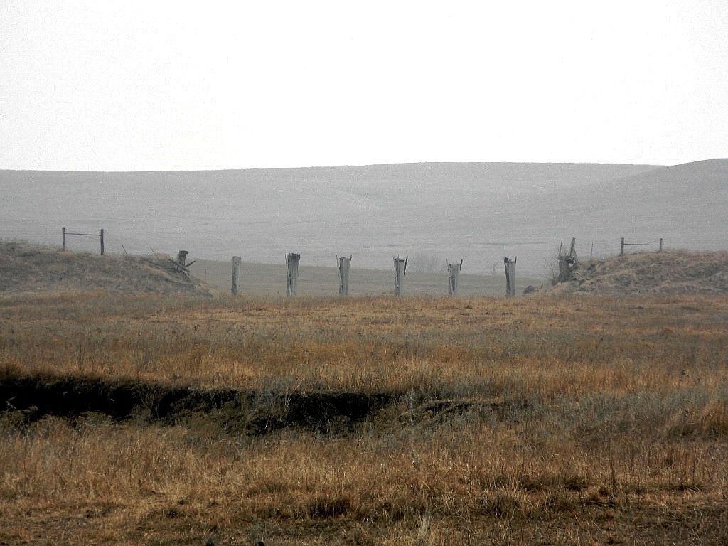
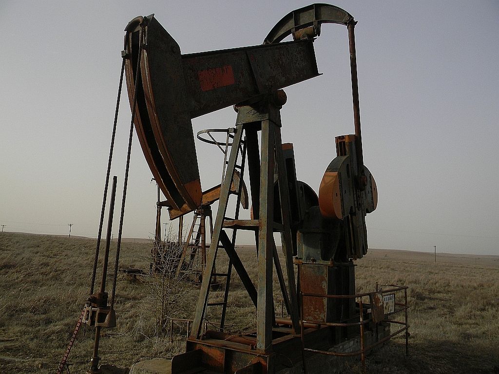
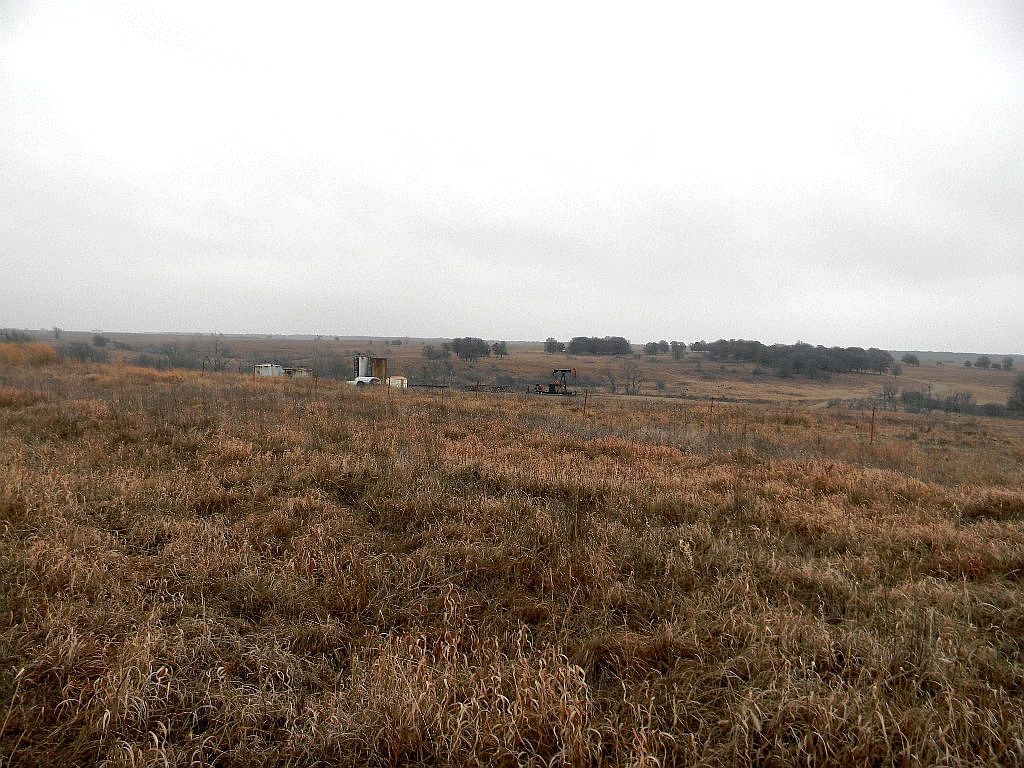
The old map showing the road still basically followed the same route, though many of the smaller side roads no longer existed or were on private property. Arriving where Strohm was listed on the map, I turned down a road the map showed as having once been public. It was gated, but it was also open, so I ventured onward and it wasn't long before I was approached by a rancher who was feeding cattle. He was surprised the gate was open as it was supposed to have been locked. There were several oil wells nearby, so it had probably been left open by a pumper servicing the wells.
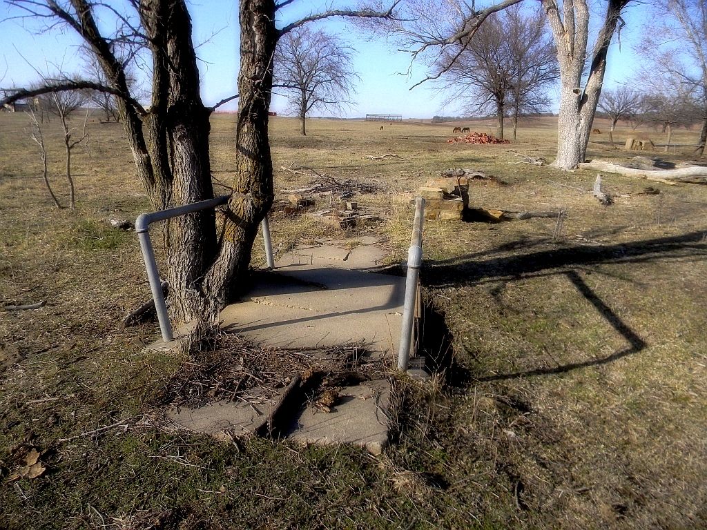
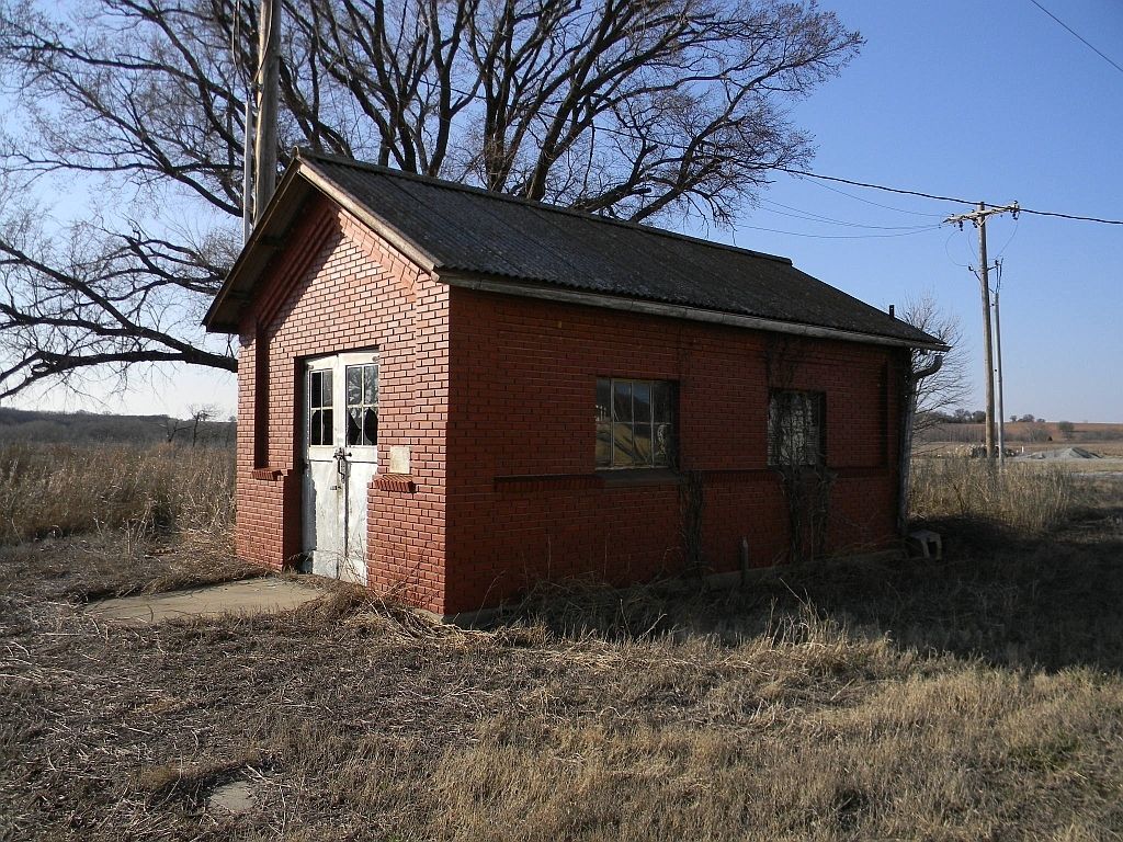
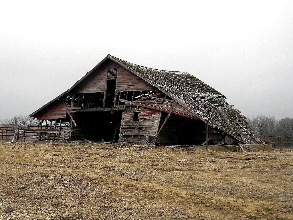
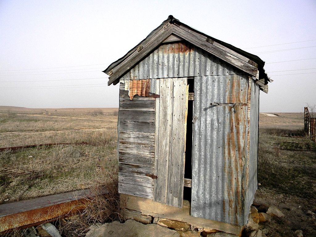
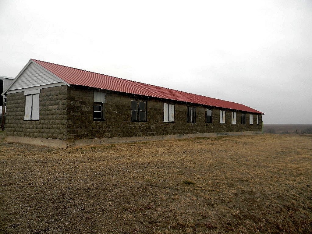
We talked for a bit and he confirmed we were standing in the remains of Strohm, pointing towards the old station. He said it was now used as a cabin by hunters who had leased 10,000 acres and came out every year for deer season. Waving his arm towards the south, he identified where the old cattle loading pens had been. I was surprised the old station still stood, but it looked to have been solidly constructed and a metal roof looked to have been recently installed. I would have liked to have explored more, but sensed I had worn out my welcome.
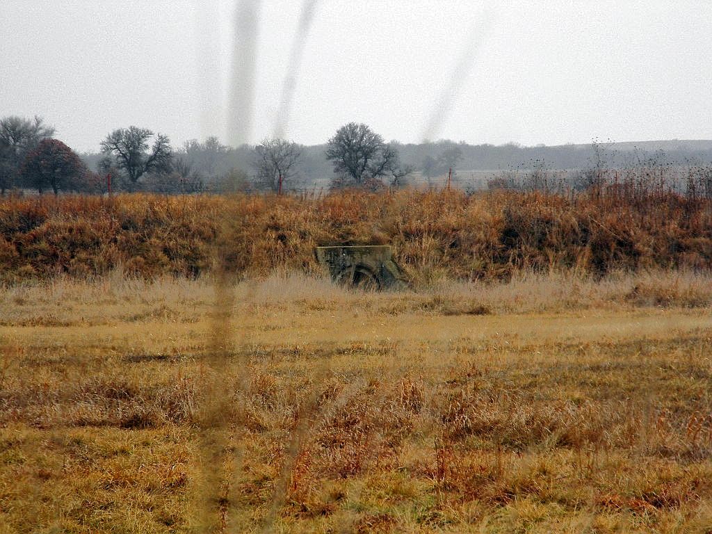
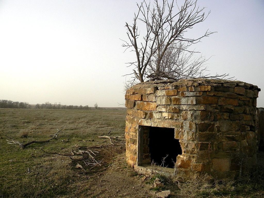
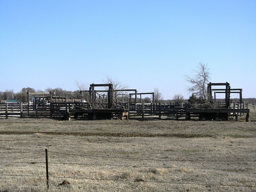
Though now gone, I suspect the cattle pens would have resembled these, still standing along the old rail line in the ghost town of Bowring.
In closing, my research found the application to abandon the railway was submitted on July 29th, 1964, though it appears it wasn't actually abandoned until 1966.
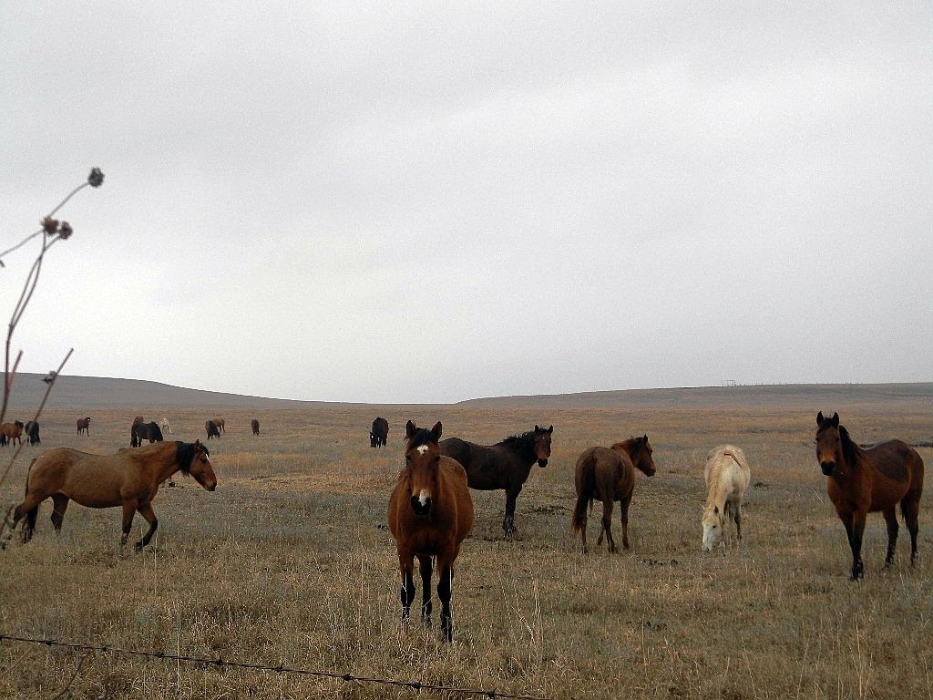
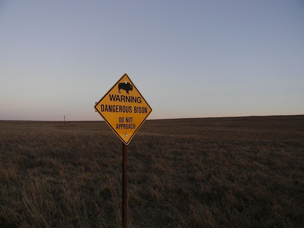
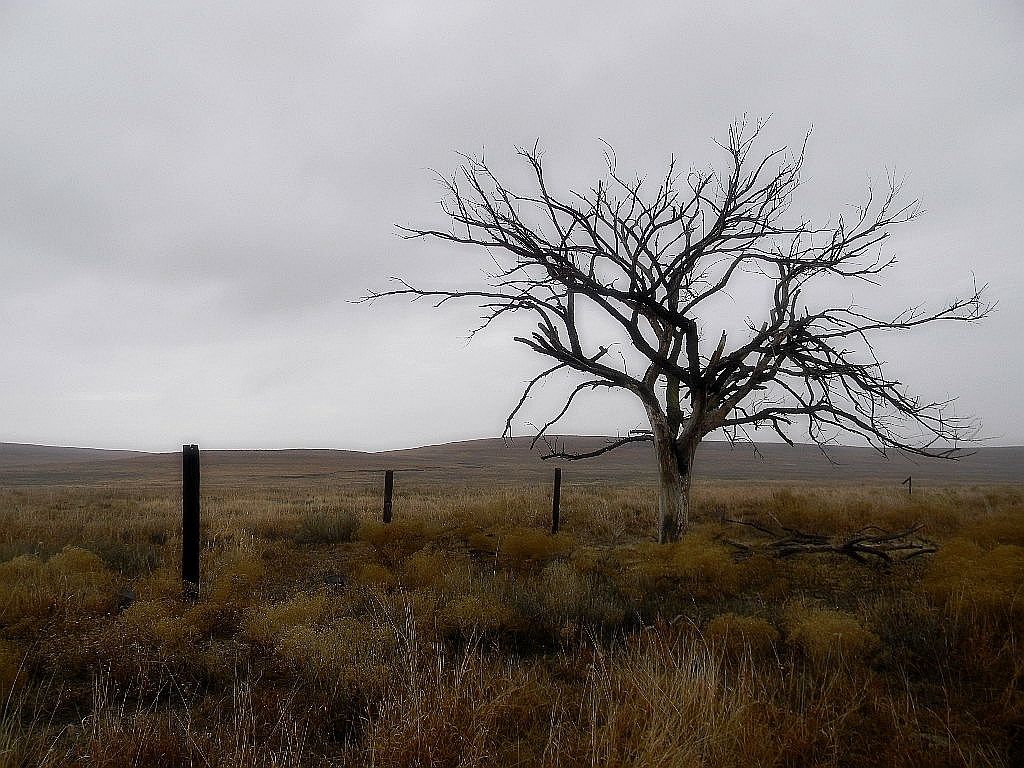
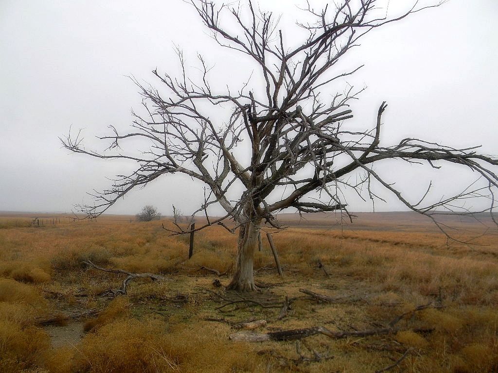
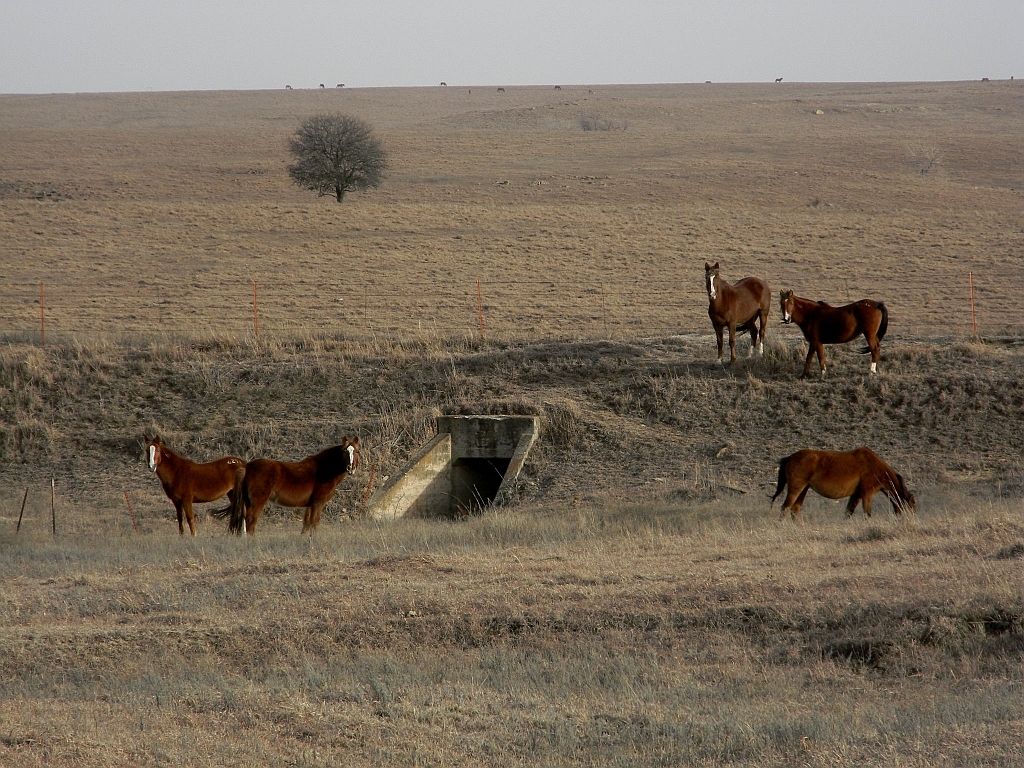
The herds of buffalo and horses once again roam their traditional range, and if you listen, you can almost hear the lonely whistle of a locomotive, far off in the distance.
Ruins, the fate of all cities. |
|
cdevon
   
Location: west county
Gender: Male

| |  | Re: The road to Strohm
<Reply # 1 on 2/11/2013 4:56 AM >
| | | | Very well done.
When I say I'm 'clean and sober', it means I've showered and I'm headed to the liquor store. |
|
undercontrol

Location: Houston, TX
Gender: Female
| | Re: The road to Strohm
<Reply # 2 on 2/11/2013 4:12 PM >
| | | | Very interesting. I too often find myself thinking about how terrible it must have been to clear and build some of these railroads/roads, especially being in an open field during an OK winter.
You've inspired me to check out my local map room.
Wilderness: where man himself is a visitor who does not remain. |
|
|
|
All content and images copyright © 2002-2024 UER.CA and respective creators. Graphical Design by Crossfire.
To contact webmaster, or click to email with problems or other questions about this site:
UER CONTACT
View Terms of Service |
View Privacy Policy |
Server colocation provided by Beanfield
This page was generated for you in 109 milliseconds. Since June 23, 2002, a total of 739265345 pages have been generated.
|
|
