forums
new posts
donate
UER Store
events
location db
db map
search
members
faq
terms of service
privacy policy
register
login


Location DB > Canada > Ontario > Markham > Hwy. 7 Chinese ESL School House > fedge and IanK1968's first visit: February 20, 2005 > 08.JPG

8 / 36   08.JPG

Description
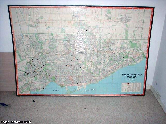
A huge laminated map of Toronto. Many of the newer neighborhoods, Highway 407 and other landmarks we know today were light years away from being thought up, let alone added to a map.
Controls

Return to Main Location Page

Return to Gallery Overview

Edit this Gallery

Edit this Picture

Un-Subscribe this Picture
Comments
Posted by scarlett 3/11/2005 9:43 PM | remove
  what year is this map from?
Posted by fedge 3/12/2005 12:09 AM | remove
  Seventies, maybe early 80s...
Posted by :: inuk 9/10/2007 12:19 AM | remove
  funny, I thought there would be a red dot or something to mark the EXACT centre of the universe. ::
If you'd like to add a comment, please login or register.


All content and images copyright © 2002-2024 UER.CA and respective creators. Graphical Design by Crossfire.
To contact webmaster, or click to email with problems or other questions about this site: UER CONTACT
View Terms of Service | View Privacy Policy | Server colocation provided by Beanfield
This page was generated for you in 312 milliseconds. Since June 23, 2002, a total of 741448267 pages have been generated.