forums
new posts
donate
UER Store
events
location db
db map
search
members
faq
terms of service
privacy policy
register
login


Location DB > United States > California > Lexington > Lexington (Reservoir Ruins) > December 7, 2008 > IMG_0690

18 / 24   IMG_0690

Description
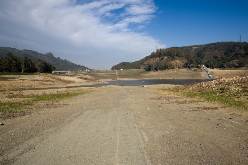
This is the old Santa Cruz Highway 17 which was completed in 1940. It was abandoned and rerouted in 1950 when the "Windy Point Dam" (later renamed to James Leniham Dam" was costructed and completed in 1952. You can still see the double-yellow lane line in this photo which is just to the right of center.
Controls

Return to Main Location Page

Return to Gallery Overview

Edit this Gallery

Edit this Picture

Un-Subscribe this Picture
Comments
Posted by WarBird69 12/8/2008 10:47 AM | remove
  Love this photo.
If you'd like to add a comment, please login or register.


All content and images copyright © 2002-2024 UER.CA and respective creators. Graphical Design by Crossfire.
To contact webmaster, or click to email with problems or other questions about this site: UER CONTACT
View Terms of Service | View Privacy Policy | Server colocation provided by Beanfield
This page was generated for you in 328 milliseconds. Since June 23, 2002, a total of 742065089 pages have been generated.