
|
|
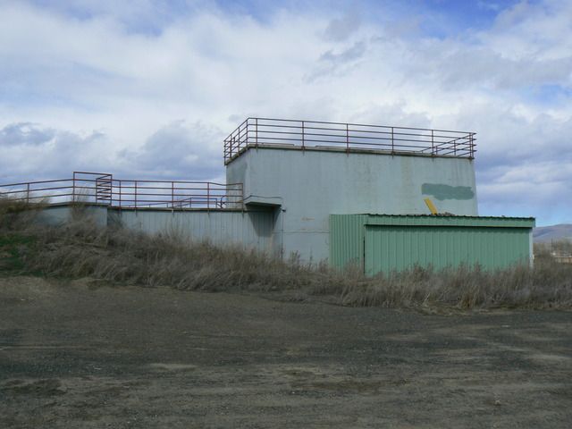
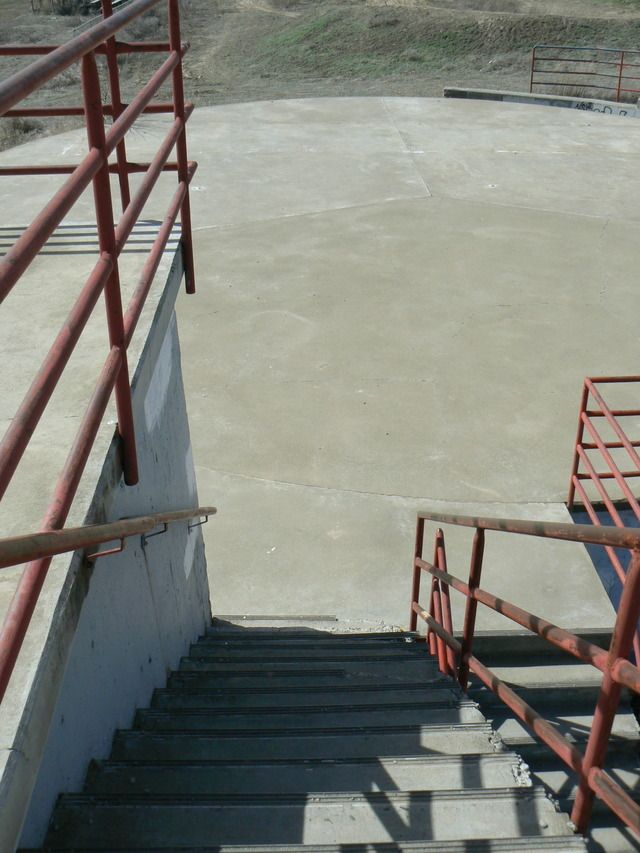
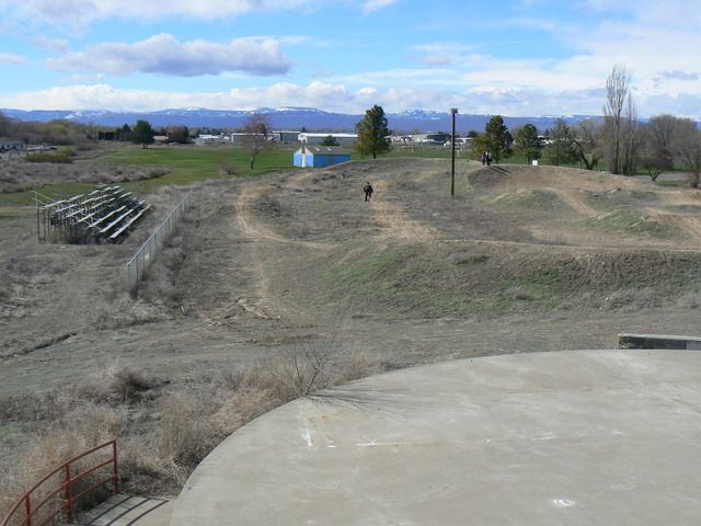
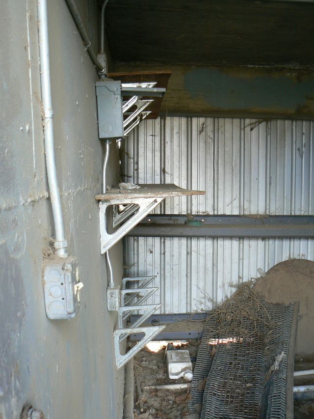
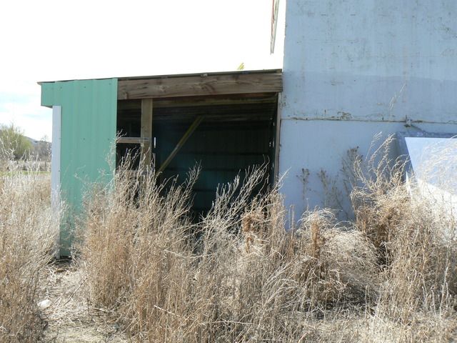
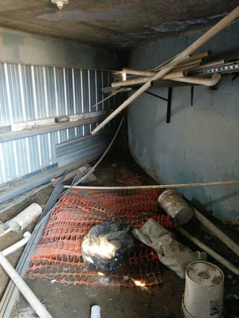
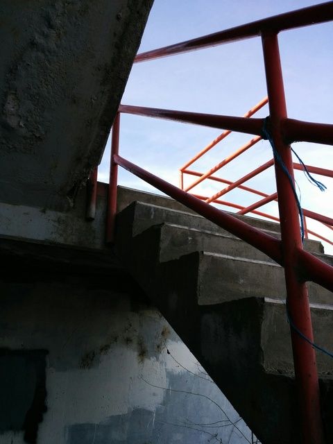
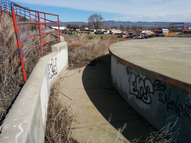
The structure is abandoned, but its not hidden by any means. I'm not sure what it was used for in the past? Location is in a well known park in Union Gap, Washington. It is out in the open, a lot of kids were climbing on it and playing in the area. Enjoy!

[last edit 4/5/2016 6:19 PM by urbexBJL1980 - edited 1 times]

| |
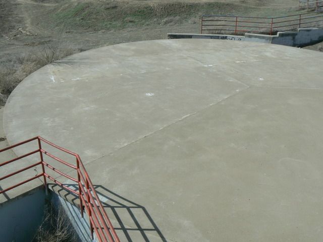
Interesting. Did that round structure seem like it could be a holding tank?
Let's Go Places | |
Posted by YotaMan20
Interesting. Did that round structure seem like it could be a holding tank?
|
I thought it looked like a helicopter landing pad of some sort..
[last edit 4/6/2016 4:47 AM by urbexBJL1980 - edited 1 times]
| |
How strange!
Let's Go Places | |
Awesome bike park! If I rode a bike I would definitely try it out
The structure... could be used for an epic kung-fu showdown for an independent B-movie? That's all I got. Good work "finding" it though!
"See you guys, you never listen to me. I said there was gonna be trouble but you didn't listen to me. You guys are crazy. You know, you guys are self destructive. There's a funny farm and it has your names written all over it. But I'm gettin' out of here. I'm... I smell ice cream!" | |
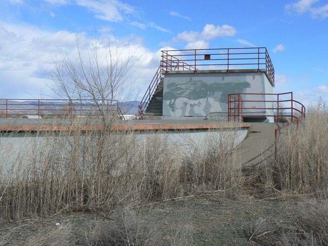
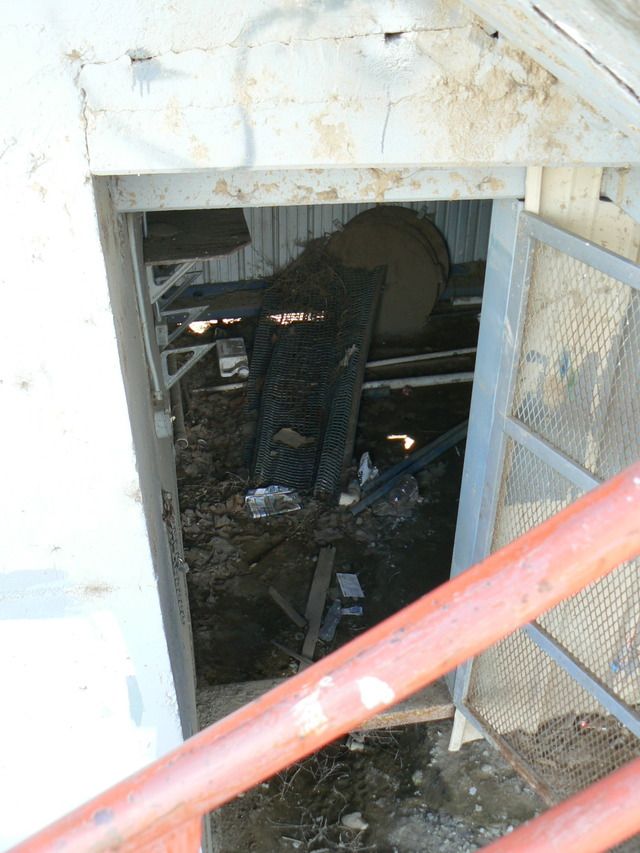
I'm guessing it's an old FAA RADAR/NAVAID structure, perhaps once associated with McAlister Field.
The circular portion resembles a rather typical air surveillance or weather RADAR antenna pad, with equipment housed below. Probably not a VOR or TACAN site, as they tend to have 360-degree open space around the antennas, whereas some RADARs 'look' in directions. Of course, the structure jutting above the circular pad could have been added after a RADAR/VOR was removed (current VORTAC is located 4 miles W of the airfield).
Research the history of what's now the park -- good chance it was land once owned by the gov't entity that operated the site. Once they were done with it, they donated the land to the city under the provision it be used to benefit the public, and that the city assume responsibility for demolishing or re-using the old structure, and instead of demolishing it, the city decided to re-use it for storage, etc. & put the hand rails up for public safety.
You could also find some old maps, especially topo maps, or old imagery that may reveal more clues, but I'm really expecting it to be an old RADAR/NAVAID site associated with the airport (that would explain why it wasn't on higher ground).
/-/oolie
There are no stupid questions, just stupid people. |
Add a poll to this thread
This thread is one of your Favourites. Click to make normal.Click to make this thread a Favourite.

| This thread is currently Public. Anyone, including search engines, may see it. |
Powered by AvBoard AvBoard version 1.5 alpha
Page Generated In: 62 ms
|
|


